808 Planner
The Oʻahu Resource Conservation and Development Council (ORCD) in collaboration with the City and County of Honolulu’s Office of Economic Revitalization (CCH-OER) present practical strategies for the agricultural and forestry sectors to adapt to climate change and extreme weather events.
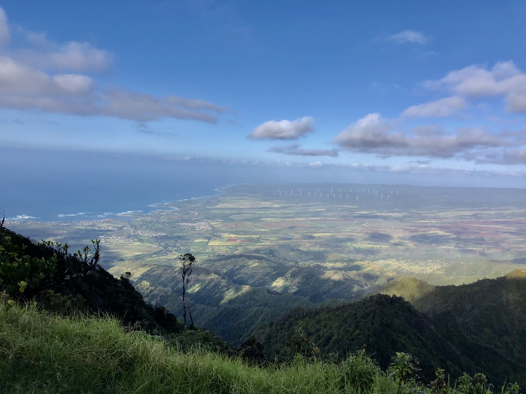
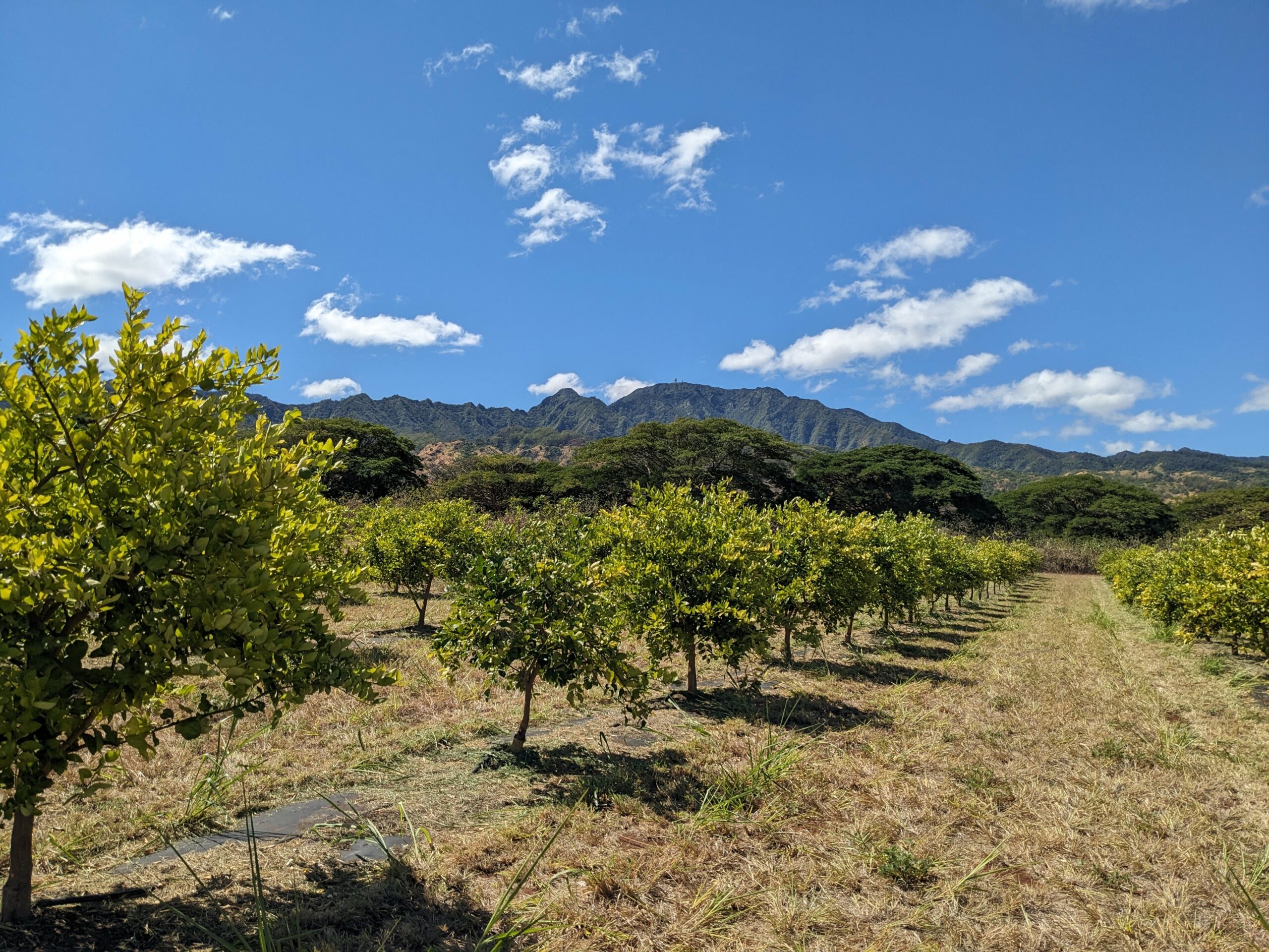
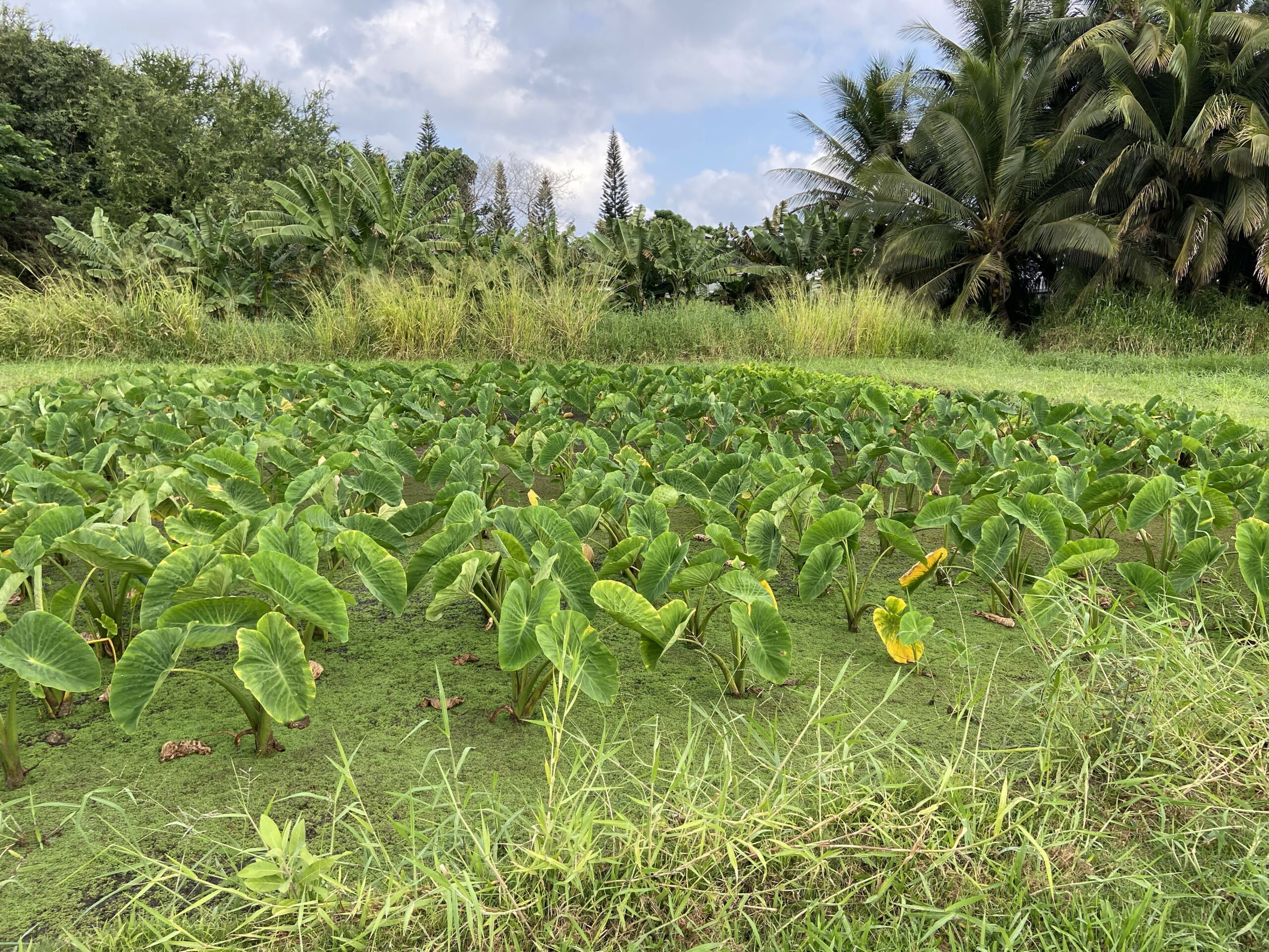
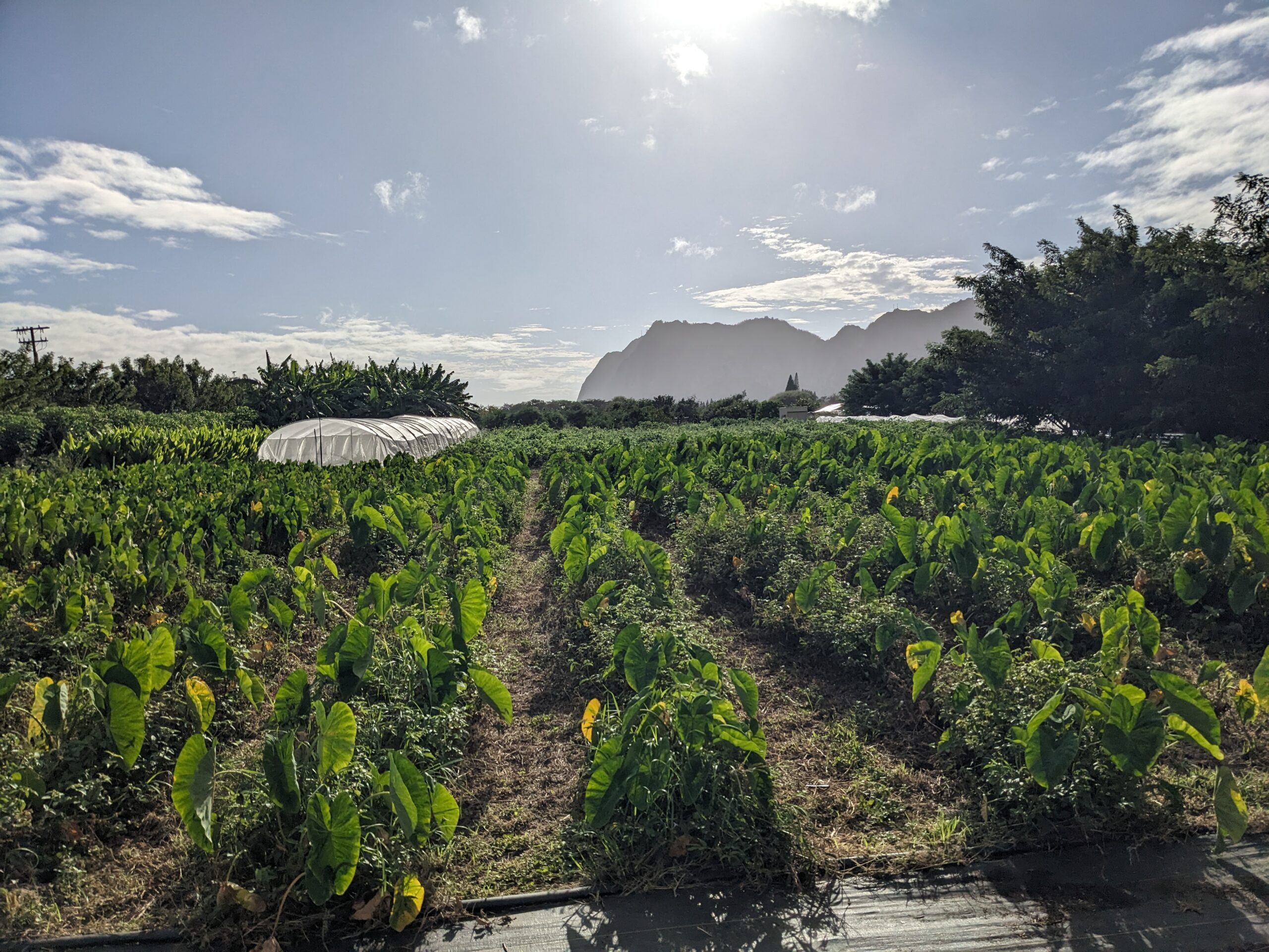
We’ve developed the “808 Planner” tool to fulfill a part of our shared mission. This interactive map allows users to draw an area of interest and quickly obtain a summary of environmental characteristics, such as: administrative boundaries, climate, elevation, hazards, land use, and soils.
This tool aims to assist:
- Agricultural Extension Services
- Farmers
- Landowners
- Researchers
- The General Public
Disclaimer
This web site is a public service provided “AS IS” and without warranties of any kind. This web site is dynamic and subject to change if newer and/or more appropriate datasets become available. All datasets on this website are from publicly available sources. Users of this web site are responsible for checking the accuracy, completeness, currency and suitability of content found on the web site themselves.