This section allows you to view the layers interactively. The check box to the left of each layer’s name will add or remove them from the display. Layer transparency can be adjusted by moving the slider left or right. Metadata for each layer can be viewed by clicking on the info icon on the right.
After you have activated the desired layers, you can use the map info tool [insert image of the icon] to click on specific locations to display relevant details about each layer in the Layer Info tab.
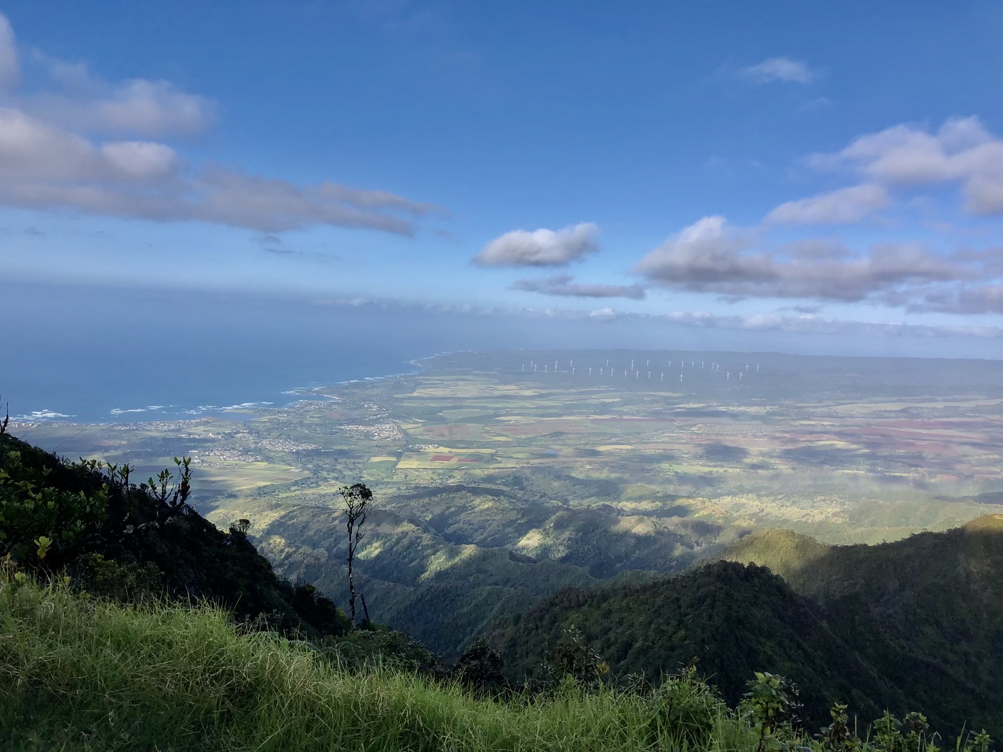
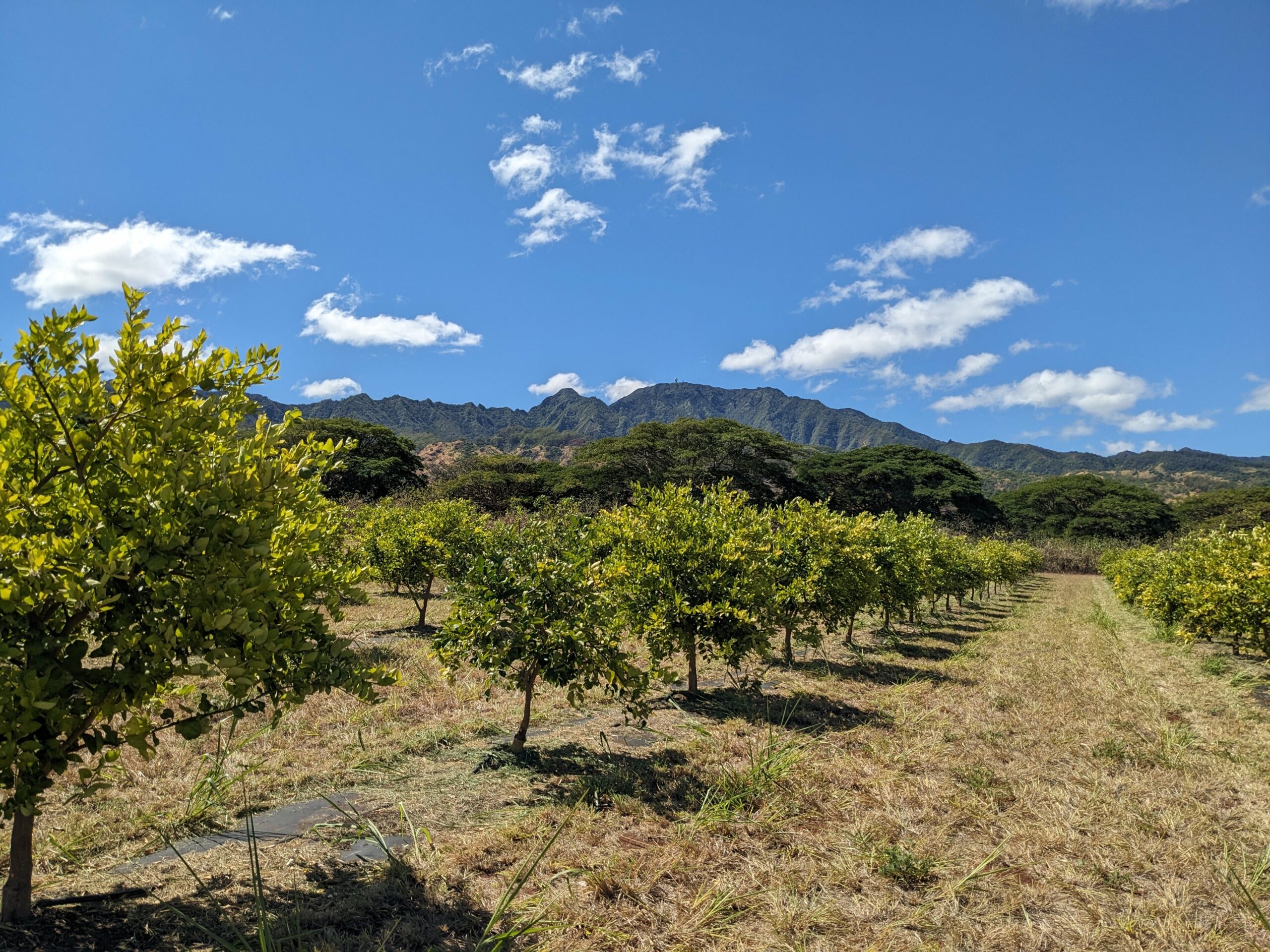
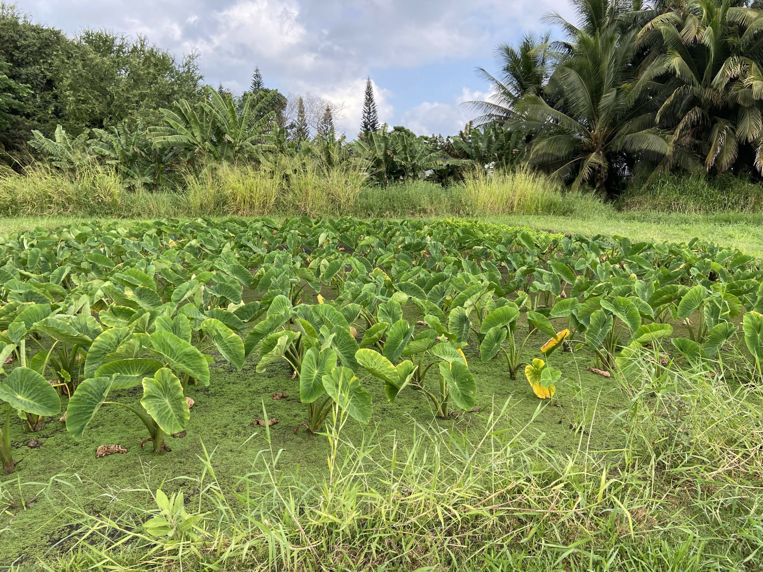
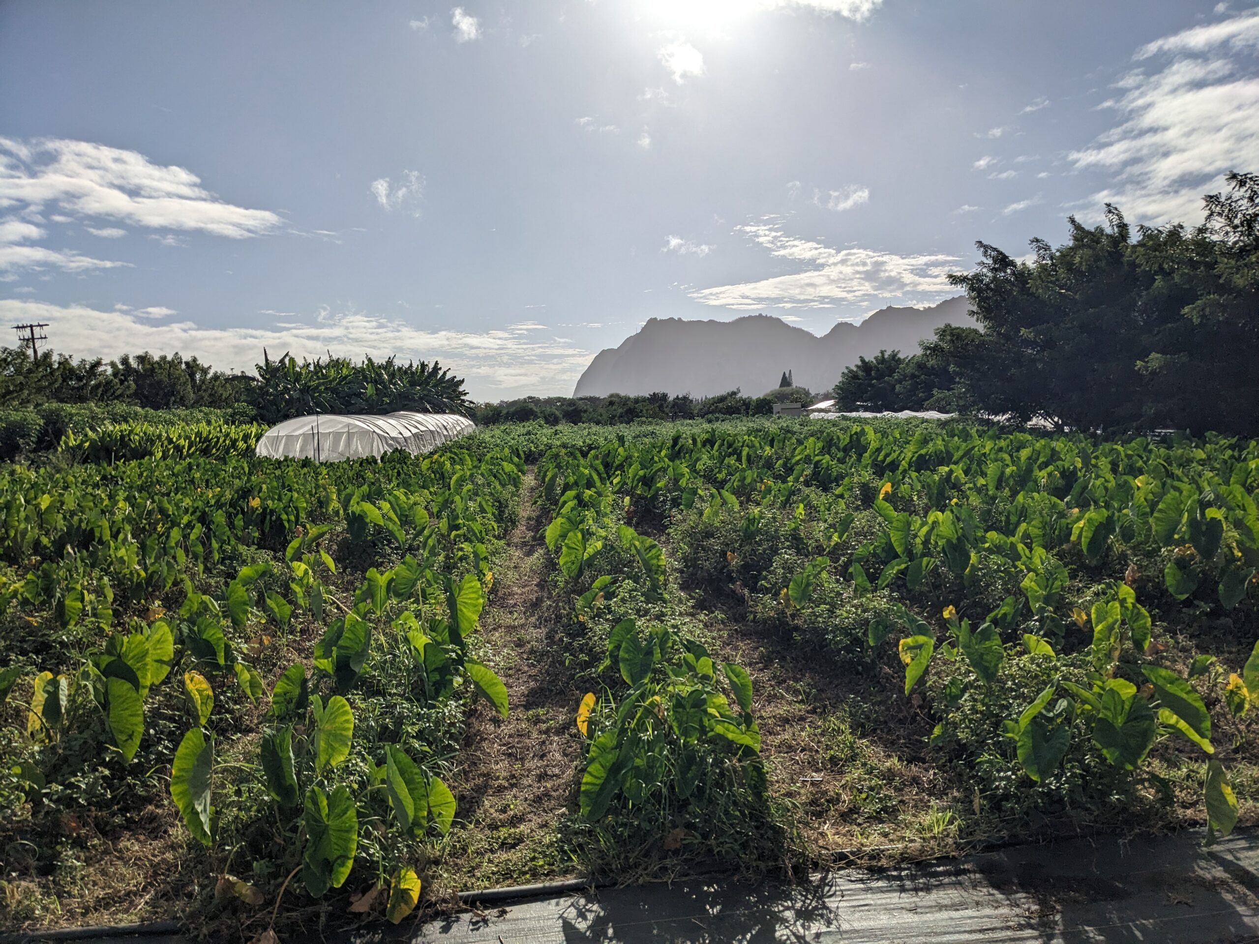
The Oʻahu Resource Conservation and Development Council (ORCD) in collaboration with the City and County of Honolulu’s Office of Economic Revitalization (CCH-OER) present practical strategies for the agricultural and forestry sectors to adapt to climate change and extreme weather events.
We’ve developed the “808 Planner” tool to fulfill a part of our shared mission. This interactive map allows users to draw an area of interest and quickly obtain a summary of environmental characteristics, such as: administrative boundaries, climate, elevation, hazards, land use, and soils.
This tool aims to assist: